
Dronelink + WebODM
Create and fly missions with Dronelink and process data with WebODM Lightning
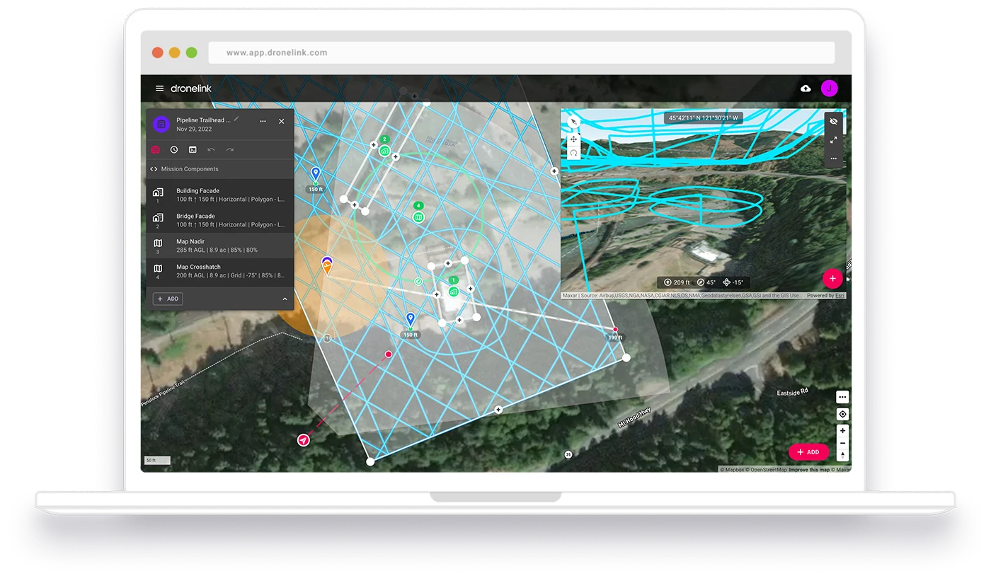
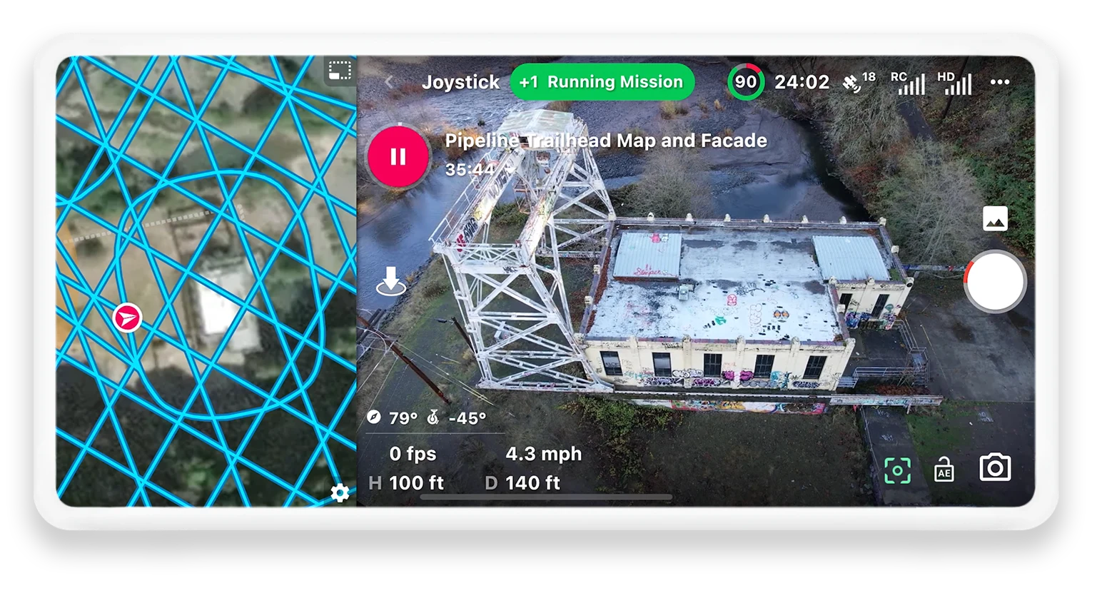
Capture data autonomously to create orthomosaics, point clouds, and 3D models.
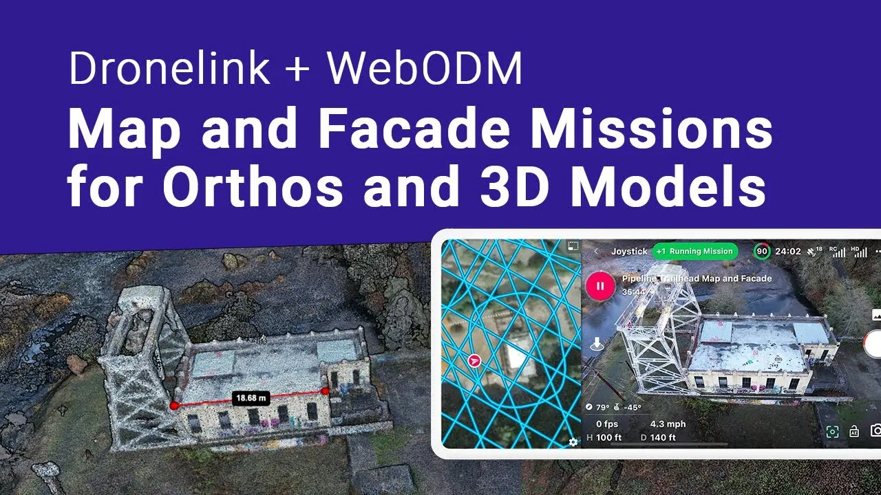
Data Processing for Dronelink Users
Redeem the WebODM Promo Code
Explore creating orthomosaics, point clouds and 3D models with WebODM Lightning. Use the promo code to get 150 free processing credits.
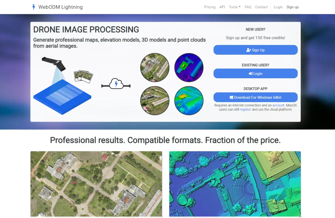
Mission Planning for WebODM Lightning Users
Unlock the Dronelink Special Offer
WebODM Lightning users get 20% off new Dronelink Professional plans. Start creating mission plans to get high quality processing results.
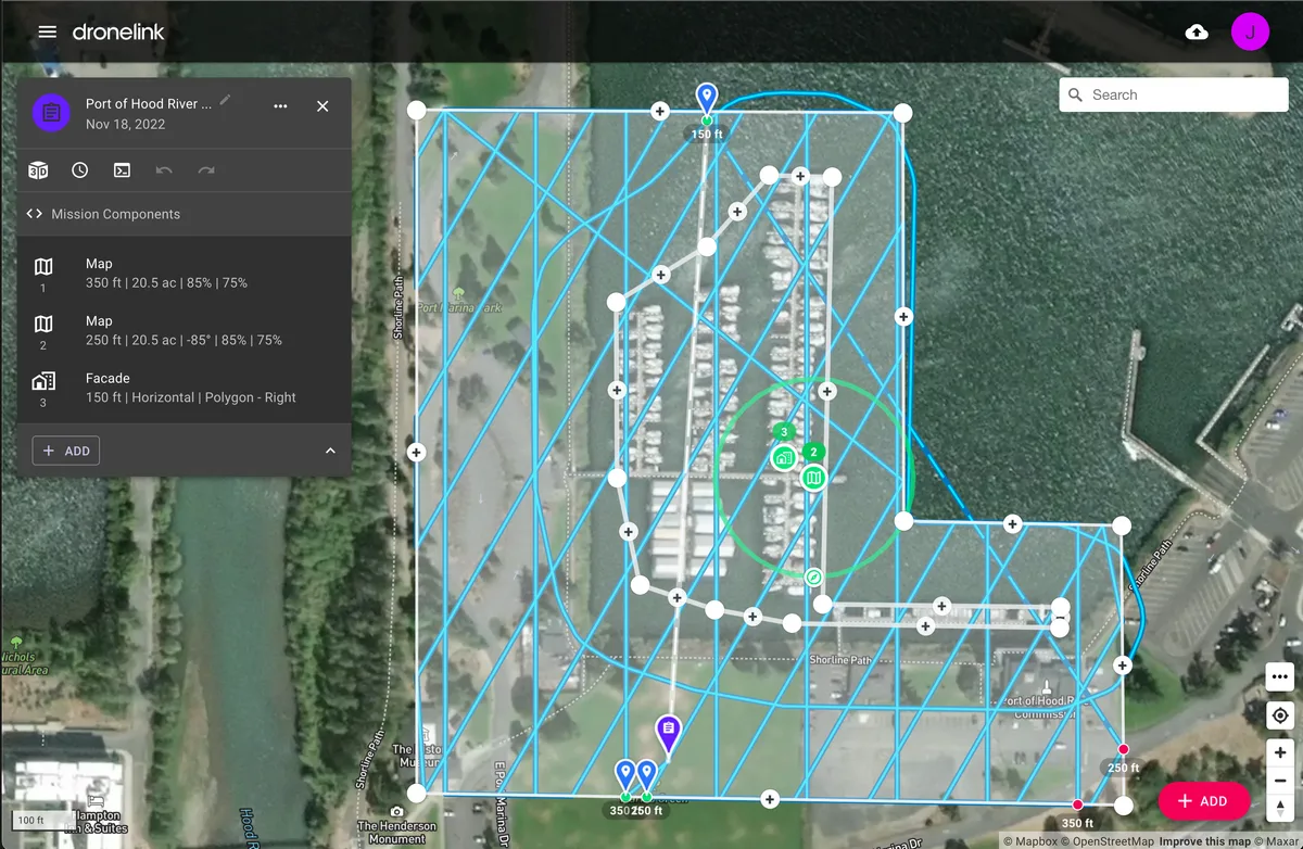
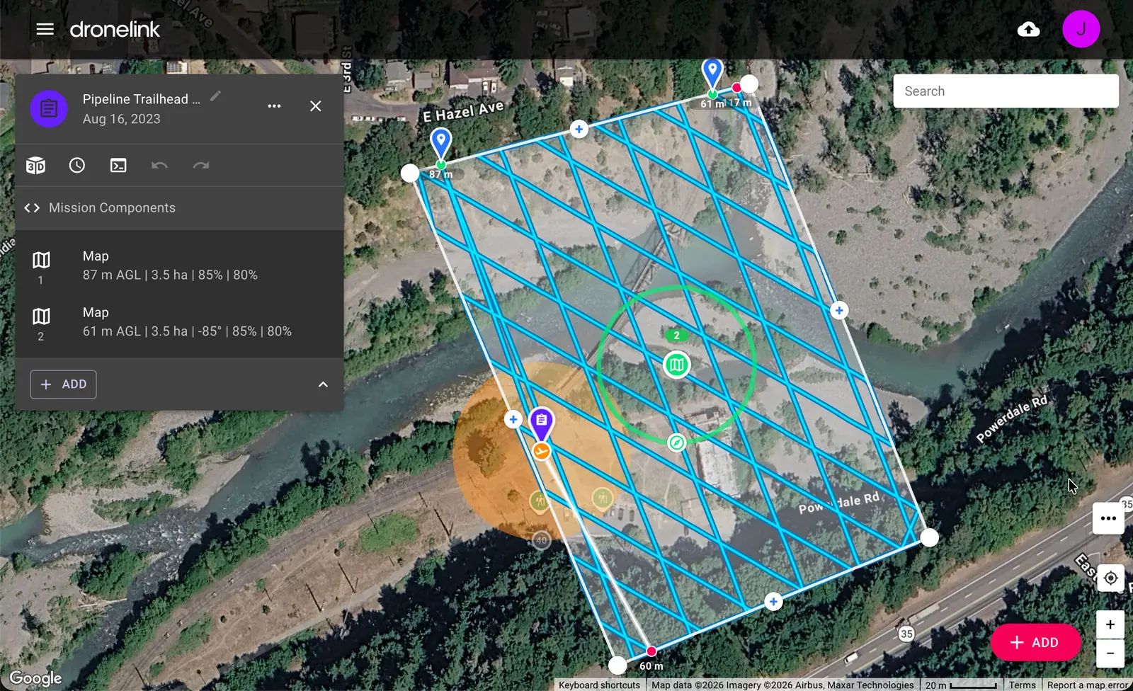
View Recommended Mapping Mission
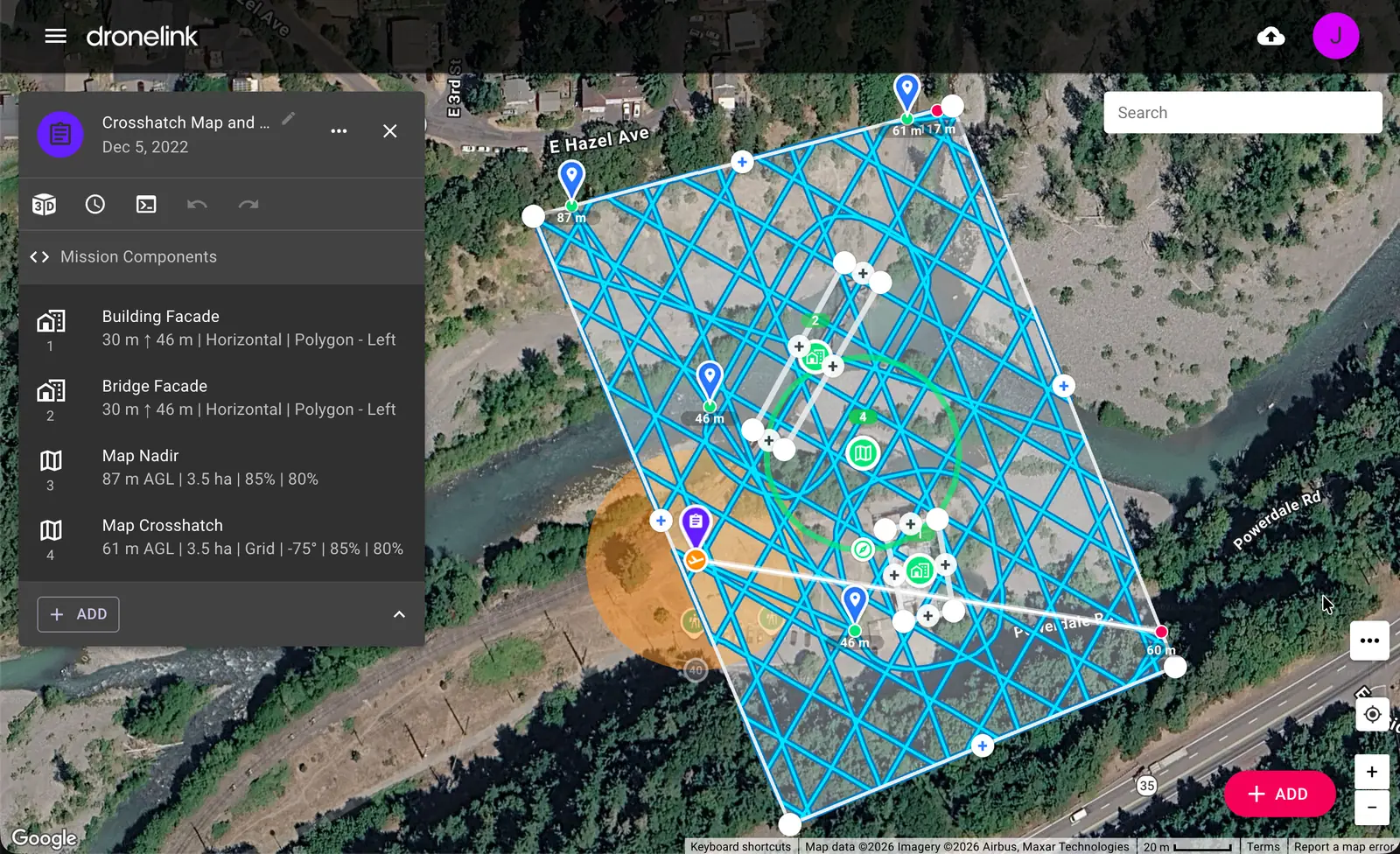
View 3D Modeling Mission
Mission Types for Photogrammetry
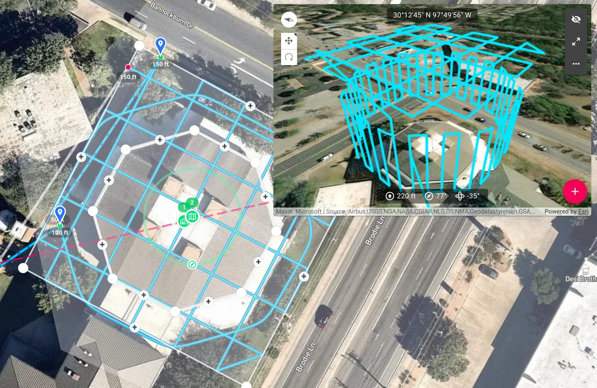
Maps and Facades
Combine multiple maps with crosshatch pattern, oblique angles, and terrain follow. Add Facades for vertical mapping and better 3D models.
Sign Up Today
14-day money back guarantee. Select the right plan for you or your organization.